Race held under full UK Athletics Permit granted through the TRA (Permit Number 3743).


Distance
31mi
50KMs
Elevation
6000ft
1800m
Cut-off
9hours
Entry Fee
£60
Date
13 Nov 2020 23:00
Course Marked
YES
Medical Support
YES
No. of Starters
200
Avg Temp.
6C
42.8F
Avg Rainfall.
40mm
2inches
Avg Humidity
80%
# of Aid Stations
6
Location
EU / UK / ENGLAND / SOUTH-EAST
Terrain
99% trail, 1% road
Entries for 2020 will open at 1000 on Saturday 7th September 2019. There will be 350 places for the event on open registration. Places are on a first come, first served basis. Entrants must meet the minimum qualification standard below in order to apply. There will be no waitlist.
Entry fee is £60.
There are no minimum standards to achieve in order to take part in this event.
Runners must finish the course within a 9 hour time limit. They must start each loop within 3 and 6 hours of the start respectively.
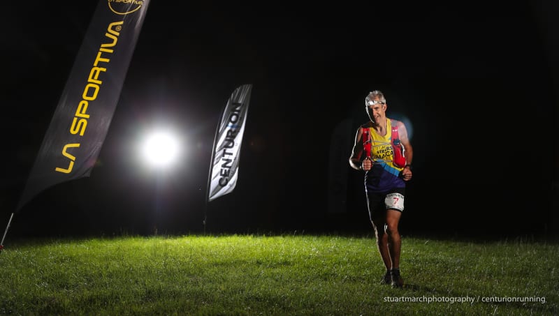
Registration, Start & Finish are in 'Trig Point Field', Aston Hill, Halton, Aylesbury, HP22 5NQ. The field is opposite Aston Hill Bike Park.
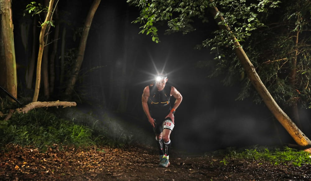
The race route consists of 3 x 10 mile loops on forest trails and tracks within Wendover Woods, woodland operated by the Forestry Commission.
A map of the route and a downloadable GPX file can be found at the bottom of this page. The route has 6,000 feet of climb, and 6,000 feet of descent.
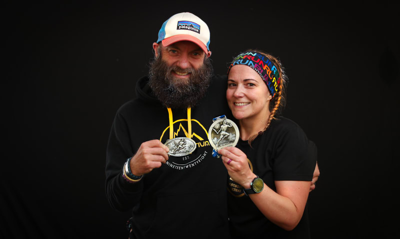
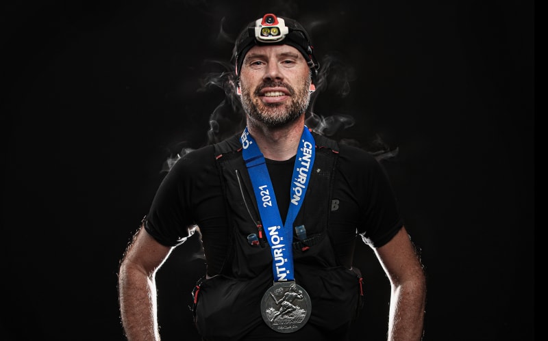
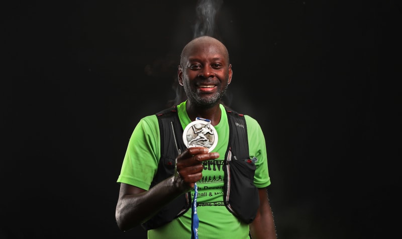
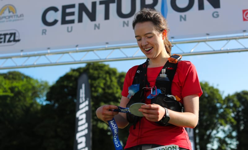
Medal to finishers only. No Tee Shirts at this event. Additional Prizes for 1st, 2nd, 3rd Male and Female, plus Male and Female V40, V50, V60 and V70 age categories.
The start/ finish location also acts as the aid station at the start/ end of each loop. The aid station will carry as a minimum: Tailwind, water, coke, chocolate, sweets, lots of fruit, Gu gels and other sweet and savory snacks.
Drop/ Finish Line Bags may be deposited at registration, whereupon they will be stored in number order and accessible to runners at the end of each loop. Bags should be clearly labelled with runners name and bib number. Drop bags must NOT exceed 45cm x 25cm x 25cm in size ie. the size of a large shoe box.
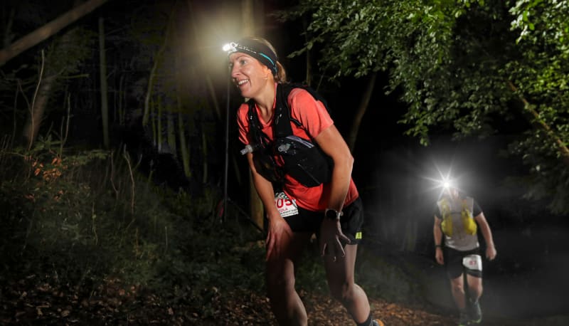
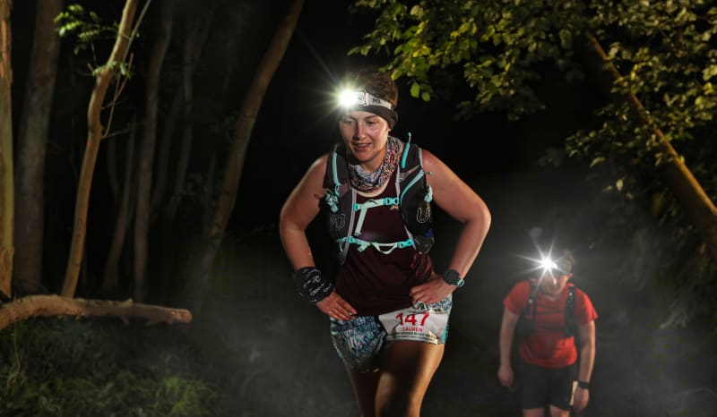
The course will be marked with reflective red, white and silver tape, Centurion marker arrows and Orange Chalk Ground Paint. There are road crossings to negotiate but all roads are closed during the night so no vehicular traffic will be seen on the course.
No pacers are permitted at any point on the route.
No crews are permitted at any point on the route.
There will be a dedicated team of first aiders available throughout the race including a static first aid team at the start/ finish check point. If you suffer an injury or accident that warrants direct medical attention, the medics will be on hand to provide you with exactly that. Contact numbers and full details of what to do in an emergency will be given to you in the pre race information packs and again at race registration. Due to the nature of the course ie. some remote and far from roads, the medics and race staff may take some time to reach you, or potentially be out of contact tending to other runners. In those instances you should contact the emergency services on 999 AS WELL AS the race medics. Full instructions on what to do in an emergency can be found in the infopacks.
99% of the course is on trail, therefore trail shoes are advised. There are sections of trail which can become very muddy in wet conditions. The course takes a number of steep ascents and descents, many of which will become hard going in wet conditions, particularly as the race progresses. These sections must be negotiated carefully in both the dry and the wet. Runners must carry the following mandatory equipment at all times.
There will be kit checks prior, during and after the race. Runners must carry the following mandatory equipment at all times. A time penalty of one hour will be imposed for any item found to be missing at any point on course. Please refer to this page for explanations on the inclusion of the below items.
There are many options regards kit for fulfilling these requirements and those of other events. We stock what we believe to be the best options at our online store available by clicking here under the Mandatory Gear Section. Please ask us if you have any questions.