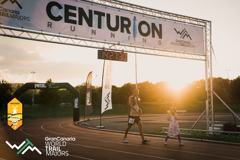
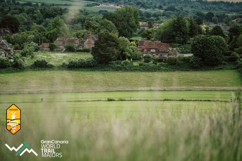
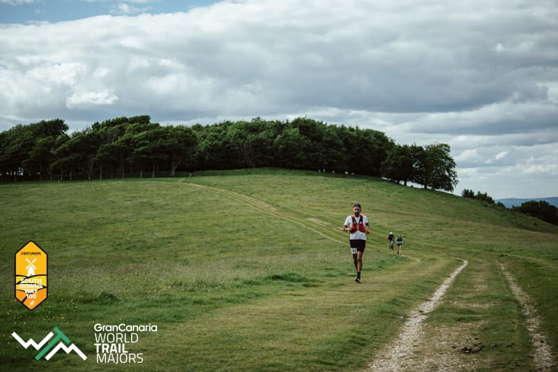
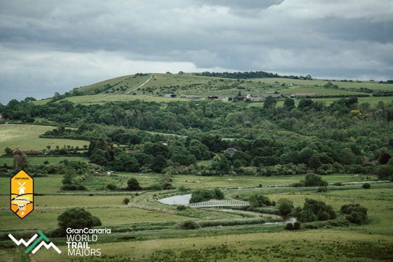
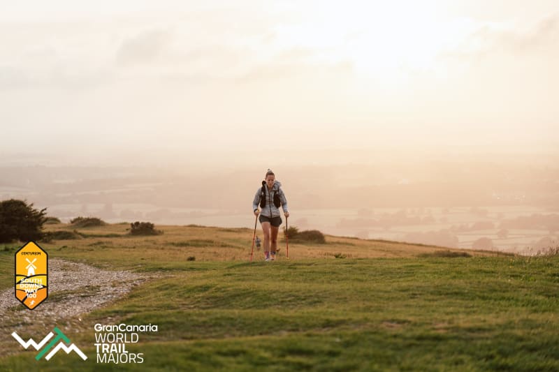
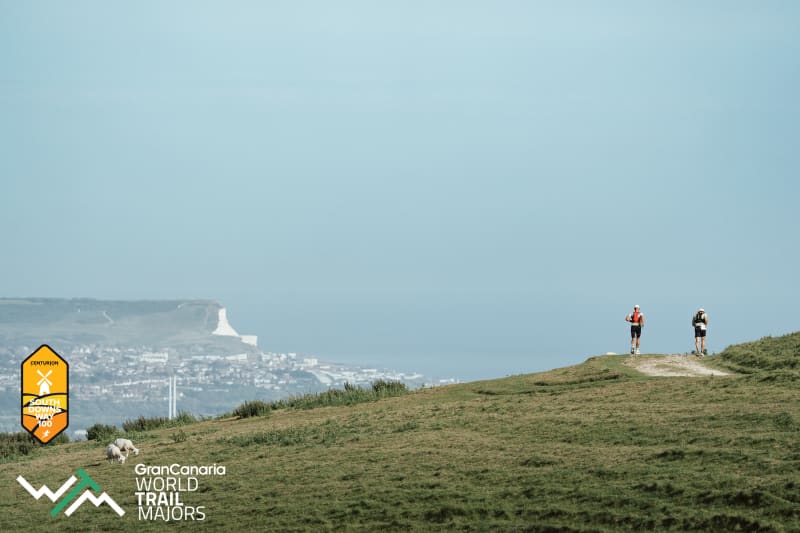
The course travels along the chalk ridgeway, starting just outside of Winchester, the capital city of Saxon England and heading due east until the trail ends in Eastbourne. The South Downs tower over Southern England affording runners awe inspiring views north across the Weald and south across the coast and the Channel. As with all Centurion events, runners will be fully supported by 13 well stocked aid stations, full medical support and course markings through difficult areas in addition to the pre-existing national trail waymarkers. Race held under full UK Athletics Permit granted through the TRA (Permit Number 2576.


Distance
100mi
161KMs
Elevation
12700ft
4000m
Cut-off
30hours
Entry Fee
£165
Date
8 Jun 2019 06:00
Course Marked
YES
Medical Support
YES
No. of Starters
400
Avg Temp.
19C
66.2F
Avg Rainfall.
60mm
2inches
Avg Humidity
60%
# of Aid Stations
13
Location
EU / UK / ENGLAND / SOUTH-EAST
Terrain
15% road / 85% trail
General entries open on Saturday 25th August 2018 at 1000. There will be 540 places for the event on open registration (plus 60 places for 2018 Volunteers). Places are open on a first come, first served basis. Entrants must meet the minimum qualification standard below in order to apply. There will be no waiting list for this event.
Entry fee is £165.
Exception to the above:
Those who volunteered over 8 hours of service to the race in 2018 and are therefore guaranteed 2019 entry
In order to enter you must have completed a minimum of a 50 mile distance race within 15hrs, between 1st January 2016 and race day. As organisers, we reserve the right to refuse anybody entry who does not meet this standard. Unqualified runners may enter but will be contacted approximately 8 weeks prior to race to verify qualification plans if they have not updated their online information by this time.
Click here to read more about what counts as a qualifier.
Registration and the race start is at Matterley Bowl, three miles east of our previous race start at Chilcomb Sports Ground. Details of how to get to the ground can be found under the travel and accom tab here.
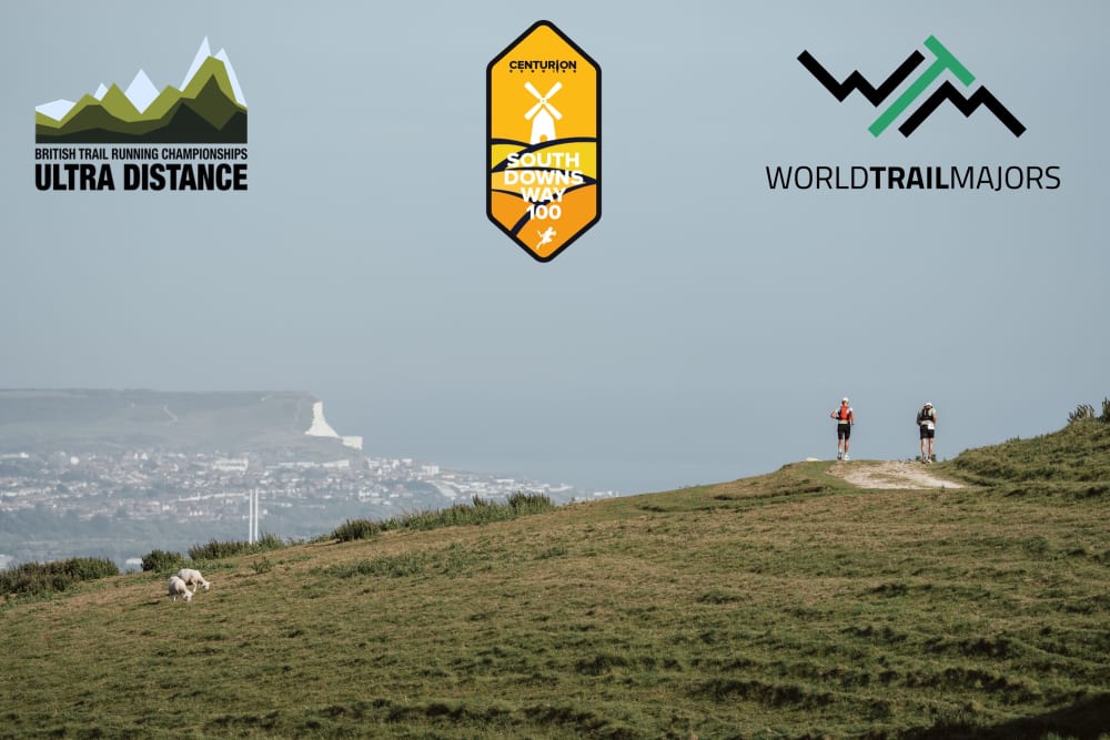
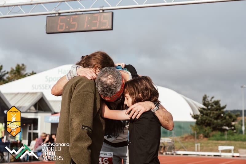
The race finishes at Eastbourne Sports Club Athletics Track. Runners will enter the track through the gate and complete a lap of the track to finish. Runners will be permitted to run the track section with friends, family and crew accompanying them.
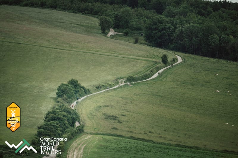
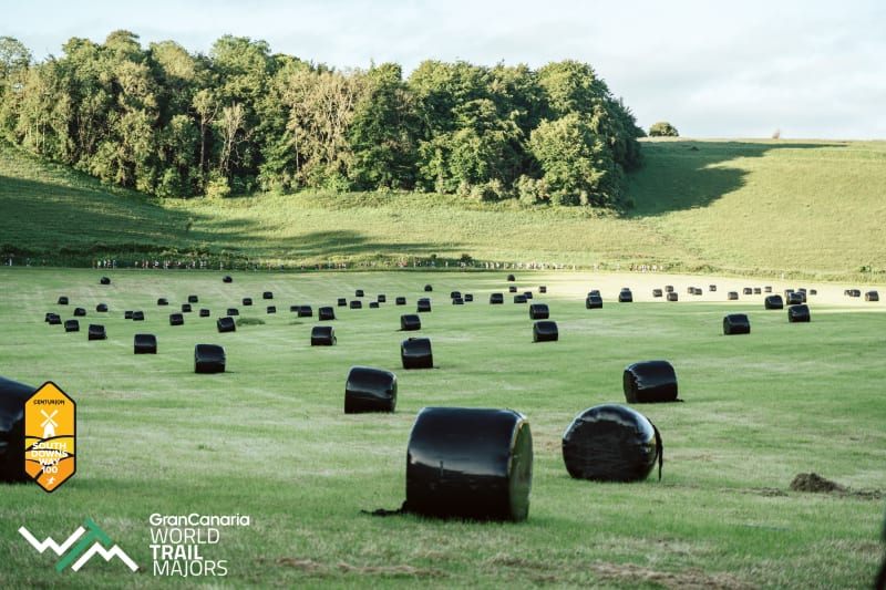
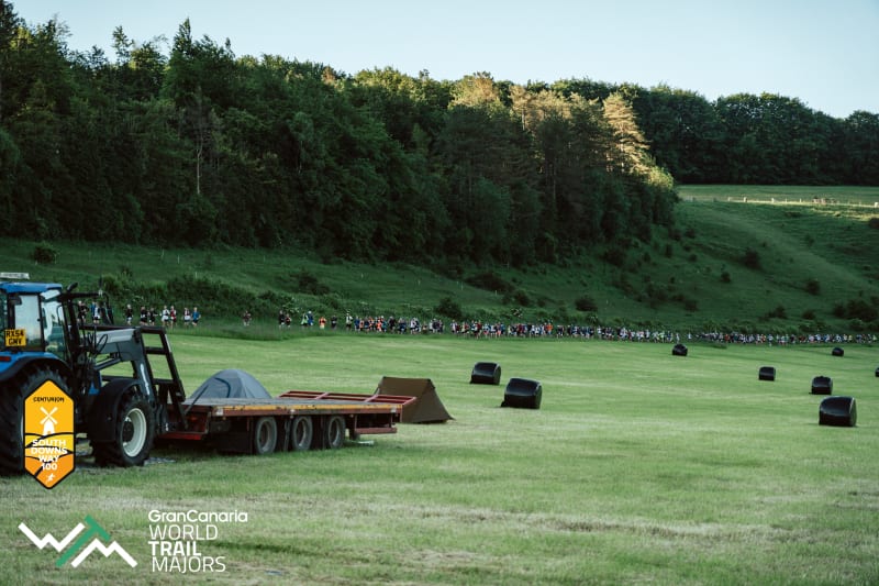
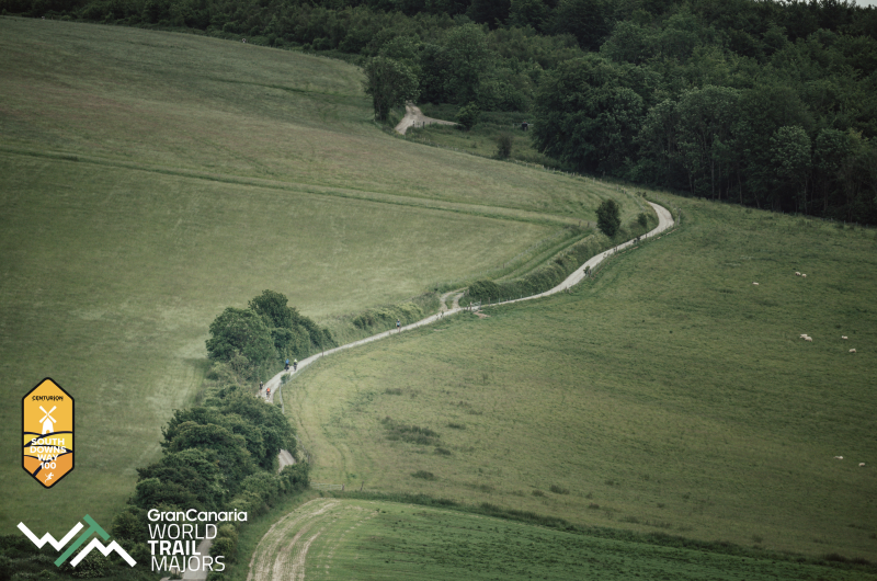
The 2019 race route begins with a 3.5 mile loop through the woodland and grassland grounds of the Matterley Estate before joining the South Downs Way as it passes through the farm. The final 96.5 miles remain identical to that of previous years and follows the South Downs Way footpath for it's duration with one or two minor exceptions that will be clearly marked on race day. The route follows the SDW footpath all the way to Eastbourne, only deviating from the standard course at the points listed on the course page.
A map of the route can be found at the bottom of this page. Please note that this does not include the first 3.5 mile loop of the estate which is on private land. This will be clearly marked on the day.
Runners must finish within a 30 hour time limit. There are strict cut offs at every aid station on route, designed with the purpose of keeping runners on course to finish within the overall time limit. The full aid station plan including cut offs on the route can be found here.
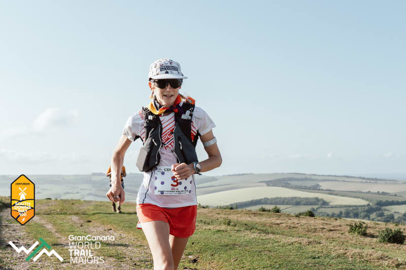
100 mile Finisher Buckle & Race Shirt to all finishers. Runners finishing the course in under 24 hours will receive special '100 miles - One Day' buckles commemorating their achievement.
Runners finishing between 24 and 30 hours will recieve '100 mile - Finisher' buckles.
Additional prizes will be awarded to 1st, 2nd and 3rd place Male and Female and all Vet Categories: MV40, MV50, MV60, MV70, FV40, FV50, FV60, FV70.
There will be 13 aid stations along the length of the course, these can be found on the aid station plan here. All aid stations carry as a minimum: water, coke, chocolate, sweets, sandwiches, nuts, lots of fruit, Gu Gels, wraps and other sweet and savory snacks. All aid stations from Washington onwards will have hot drinks including tea and coffee. There will be hot food available at Washington and the finish line.
Drop Bags must be deposited at the race start either on the Friday evening or Saturday morning during the hours of registration. Drop bags must NOT exceed 30cm x 20cm x 20cm in size ie. the size of a shoe box for any one aid station. They must be labelled with your name, aid station it is to go to and race number. Drop bags will be accessible at the following points and will be available for collection between 0800 and 1200 at the finish line. Drop bags must be collected by 1200, any left over at this time will be disposed of. Runners need to leave a different drop bag for each aid station, each bag will be transported to the aid station listed and then the finish. Finish line bags will be taken directly to the finish only.
Detailed course notes can be found on this page.
The course is marked by South Downs Way marker posts which come in different forms but always displaying the acorn which is the key symbol and guide on this route as with all National Trails.
In addition to the fixed markers as above, the course will also be marked with red & white tape reflective tape and arrows. There are a number of road crossings to negotiate, some of them are extremely busy. It is the responsibility of the runner to negotiate all road crossings safely.
It is ultimately the runners responsibility to navigate the course successfully, with or without course markings. We strongly recommend that you take the time to recce the route before race day and carry a map with you on race day. The Harveys South Downs Way map is an excellent guide.
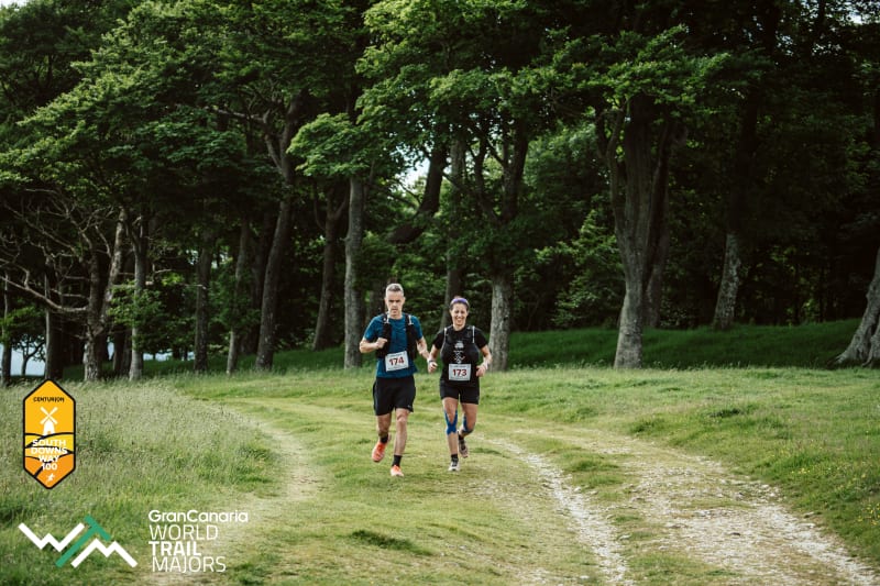
Runners are permitted pacers from Chantry Post Crew Point (mile 51). Pacers must travel on foot only. Runners are permitted multiple pacers throughout the last 49 miles but only one may travel with the runner at any one time. The exception to this is the finishing lap of the track where a runner may be joined by as many friends and family as he or she wishes.
The points at which a runner may be paced/ hand over pacers are listed on the crew page here.
Runners are allowed to have a crew. The points at which a runner may be crewed are listed on the crew instructions page here. Crews will not be permitted to access their runner at any point other than those listed.
There will be a dedicated team of race medics available throughout the duration of the weekend including static first aid teams, rapid response cars and a race ambulance. If you suffer an injury or accident that warrants direct medical attention, the medics will be on hand to provide you with exactly that. Contact numbers and full details of what to do in an emergency will be given to you in the pre race information packs and again at race registration. Due to the nature of the course ie. some remote and far from roads, the medics may take some time to reach you, or potentially be out of contact tending to other runners. In those instances you should contact the emergency services on 999. If you are injured but able to walk, please make your way to the nearest aid station where there will either be a medic, or an aid station captain will immediately get in touch with medical care should you require it/ arrange for transport out. If you suffer a severe injury or encounter someone in serious difficulty please call 999 for emergency ambulance services.
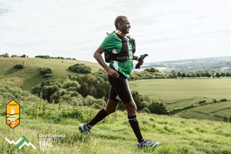
85% of the course is on trail, therefore trail shoes are advised. There are sections of trail which can become very muddy in wet conditions. The South Downs Way paths are formed of chalk and are composed of significant sections of exposed and slippery chalk bed and rocks. These sections can be technical in both the dry and the wet. The ridge is very exposed and in wind and rain runners can become cold quickly. It is essential to carry the items below in lieu of that. There will be kit checks prior during and after the race. With the exception of lights which must only be carried from Washington onwards, runners must carry the following mandatory equipment at all times. A time penalty of one hour will be imposed for any item found to be missing at any point on course. Please refer to this page for explanations on the inclusion of the below items.
There are many options regards kit for fulfilling these requirements and those of other events. We stock what we believe to be the best options at our online store available by clicking here under the Mandatory Gear Section. Please ask us if you have any questions.
Strongly recommended but not mandatory: